“Down the Road” from here, you’ll find three distinct neighborhoods: Neptune Beach, Neptune Heights, and Sandy Point Shores . The Tabs across the top of this page will take you to more details. For Sandy Point Improvement Co, click “Links”.
Author Archive: larryh
If you didn’t get here by accident – – – –
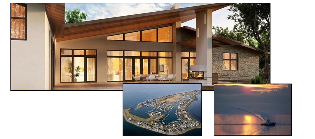
It’s a pretty safe assumption that you like being around water – – – either for the ever-changing views or boating or just being in a beach community.
There is an enormous amount of information available. The “Links” Tab is a great place to start – – and since we’re continually finding new details, it will be “a place to come back to”, often, for updates. Feel free to contact us with any new and amazing info that you may have found elsewhere, and that you’d like to see a link, here. Enjoy !
Navigation (Marine)
The Marine Navigation tab will detail the Marina, and channel out to Rosario Straits, and Tides – – you’ll definitely want to know about Tides!
Entrance to Sandy Point Harbor
Here’s a short video of a “best case” entry – – a powerboat with local knowledge, making a “normal” entry.
Minus 3.0 tide – – Nothing comes in or goes out.
Sandy Point Marina
The Marina is owned by SPIC and is for the use of SPIC members, however the general public can use the launch ramp for a fee. There is a Marina Office, BBQ building, gated Launch Ramp, and Dry-Storage Area.
In the photo, below, the boats, ramps and docks on the right side are privately owned by separate properties.
Gas is available at the Marina Fuel Dock, next to the launch ramp.
Launch Ramp
If you have access to, and are using the launch ramp you’ll want to be very aware that there is an 18″ to 2′ gap between the floating dock and the ramp edge. Trying to get your boat close to the dock could mean that you drop a wheel off the ramp edge. There are lots of different “potentials” – – none of them good. You’ll also want to be aware that at an extreme low tide, your trailer may back off the end of the ramp (a drop-off), making it very difficult to retrieve.
Access during Westerly winds can become dangerous, as an outgoing current, flowing into a wave coming from the West can cause breakers in the entrance. Keep in mind that you may be able to ride the crest of a breaker, coming in (and not “bottom out”). On departing, there may be enough water in the channel, itself, but if you punch out into the trough of an incoming wave, you may be sitting on the bottom – – momentarily.
Sandy Point & Neptune Beach
This Video shows the course you’ll need to steer to get in or out safely. Don’t cut the Corner! With a 36″ draft, you will need at least a 4′ tide, however what you “need” and what is “comfortable” will depend on current & wind conditions (& how much adrenaline you can stand). Note the “hard 90” at the buoy (don’t hit the buoy – it’s $$ & privately maintained). A 5′ tide will allow most boats with up to a 5′ draft to come in safely. Keep in mind that coming in for the 1st time, & steering from a fly-bridge can be terrifying, as you’ll be seeing down into very clear water & seeing every rock. Try it from the lower helm the 1st time in. If the current is running hard, you’ll need to be on the throttle(s) – – – –
History
There’s a tab marked “History” that will include details that go back into the mid 1850’s.
View Homes/Property
Of Course you can find all the listings of available homes, condos, and lots here, but the real purpose of the site is to provide information and history to everyone. For Property, click the tab at the page top.